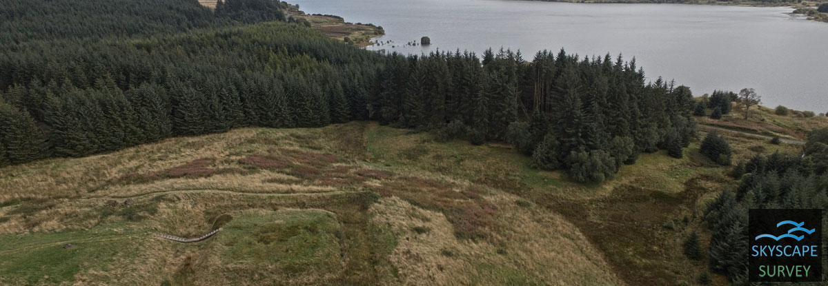
Carron Valley, Stirlingshire – Two sites investigated as part of a community excavation and survey in September 2017
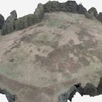
To enhance and cross reference a previously surveyed topographic plan of the site, carried out with traditional methods, and to prvide a contour movel and 3D web enabled model of the castle for the local community. In addition, the community group were to be shown the correct usage of SUA flights for archaeological survey
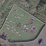
To fly over the early castle to provide site images and an enhanced topographic survey and fly over the graveyard at Kirk o’ Muir to crate an orthographic image.
Carron Valley Renewables Trust / Stirling Council


